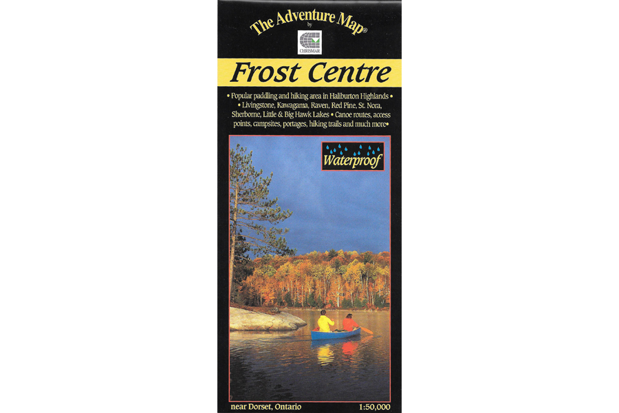

Chrismar Maps Frost Centre
$13.95
Waterproof map of the Frost Centre area!
3 in stock
Description
This popular map showcases over 500 km2 of wilderness in the Haliburton Highlands/Muskoka Lakes region of Ontario, including the popular 200 km2 tract of crown land known as the Leslie Frost Centre lands. A great destination for paddlers and backpackers alike, this map covers stretches from Livingstone and Fletcher lakes in the north, to Halls Lake in the south and from Lake of Bays to the west to Kennisis and Kimball lakes in the east. This map features extraordinary topographic and water details, as well as hiking trails, campsites, portages, access points, facilities and other attractions. The back side is covered with colour photos and lots of information about natural history, suggested routes, safety tips, contact information and much more. Our most recent version includes campsite numbers, day-use and group sites, camper and tent limits by site, and other useful information about recent developments.
Waterproof.
Additional information
| Weight | 1 kg |
|---|---|
| Dimensions | 23 × 11 × 0.5 cm |