- You cannot add "Ontario's Southern Shield Country" to the cart because the product is out of stock.
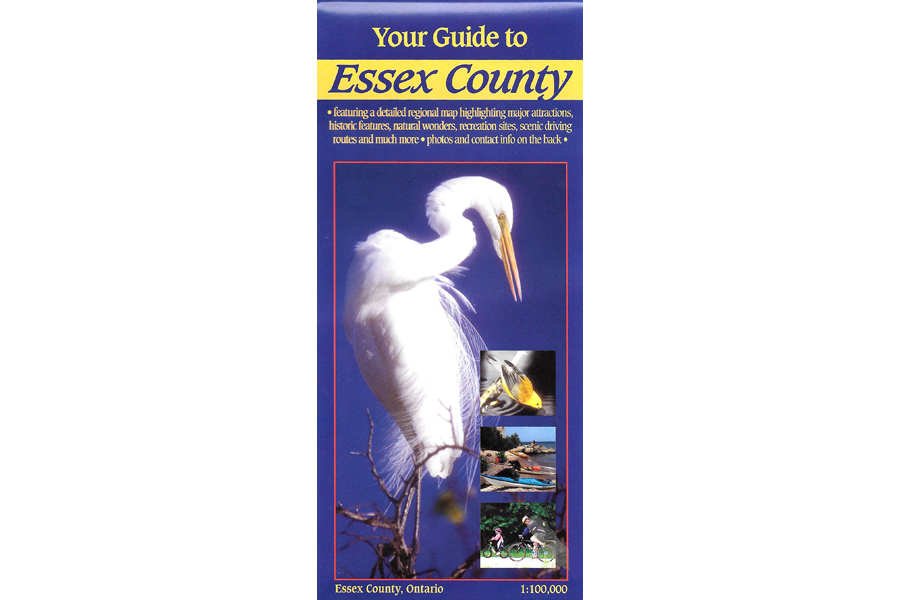

Chrismar Essex County Map
$5.95
Waterproof map of Ontario’s Essex County!
4 in stock
Description
This map & guide covers all of Essex County in southwest Ontario, and a bit beyond (the Michigan side of the river, parts of Chatham-Kent) at a scale of 1:100,000. In addition to extraordinary road, vegetation and water feature details, Chrismar has also provided close-up inset maps of Amherstburg, Kingsville, Leamington, the Lake Erie islands, and a special map & guide for Pelee Island.
You’ll find road, river and lake names, hamlets, long-distance hiking and biking trails, a special focus on birding areas, canoe & kayak launches, conservation areas, fishing, outfitters as well as many recreational and cultural attractions such as the wineries the area is famous for.
This makes a great trip planning resource and will prove very handy reference when travelling around the County on your trip. Better than a GPS because you can see the bigger picture!
Additional information
| Weight | 1 kg |
|---|---|
| Dimensions | 23 × 11 × .5 cm |