
Chrismar Maps Temagami 1
$16.95
One of the world’s great paddling areas, Temagami provides thousands of lakes and rivers among the rocky forested hills of northern Ontario.
4 in stock
Description
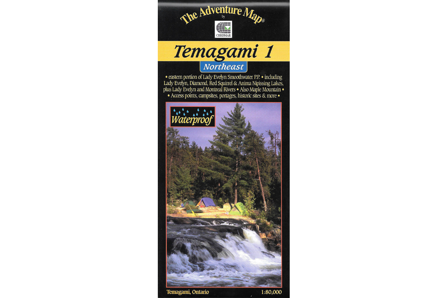
One of the world’s great paddling areas, Temagami provides thousands of lakes and rivers among the rocky forested hills of northern Ontario. Our map covers the Northeast quadrant of the main region, and is bounded by Maple Mountain to the west, Latchford and Hwy 11 to the east, Wakimika Lake, Sandy Inlet and Red Squirrel Road to the south and the Spray Creek/Big Spring Lake/Montreal River junction to the north.
In addition to the extraordinary contour, vegetation and water detail on this map we’ve also included most of the formerly official campsites, portages, public hiking trails and access points, as well as historical features, primary fish species by lake, lake elevations, access roads, island numbers and much, much more. This map has considerably more detail than government topos or any other map of the area.
The back of the map is covered with text and lovely colour photos about natural and human history, suggested routes, safety tips, contact information including local outfitters, and much more. Though it covers the area of several government topos and has considerably more detail, this single map is only a third of the cost.
Waterproof.
Additional information
| Weight | 1 kg |
|---|---|
| Dimensions | 23 × 11 × 0.5 cm |