
Chrismar Maps Temagami 4
$16.95
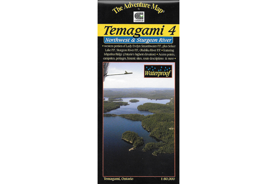
This map shows the more remote western side of classic Temagami; the ideal area for a fly-in trip or a lengthy multi-week route.
7 in stock
Description
This map shows the more remote western side of classic Temagami; the ideal area for a fly-in trip or a lengthy multi-week route. In addition to a selection of paddling routes through large and small lakes, there are several great river routes, and even the chance to hike to the highest elevation in Ontario, Ishpatina Peak. It is a large map showing all or parts of 5 Provincial Parks as well as several Conservation Reserves that border and help protect them. The largest Park is Lady Evelyn-Smoothwater, the eastern portion of which is found on our Temagami 1 map. Lady Evelyn-Smoothwater includes Maple Mountain (another provincial high point) and the afore-mentioned Ishpatina Peak, as well as several large lakes and strings of lakes, plus a whitewater gem, the Lady Evelyn River.
This map shows considerably more detail than government topos of larger scale. Campsites, portages, access points, falls, rapids and much more are included, plus the incredibly detailed land and waterscape you’ve come to expect from The Adventure Map®. The back side is covered with colour photos and text detailing the natural and human history of the area along with suggested routes, safety tips, contact info and much more.
Waterproof.
Additional information
| Weight | 1 kg |
|---|---|
| Dimensions | 23 × 11 × 0.5 cm |