
Chrismar Oxtongue River Map
$8.95
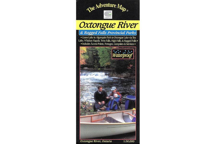
Waterproof map of Oxtongue River and Ragged Falls Provincial Parks.
2 in stock
Description
This 1:30,000 scale map of the Oxtongue River area covers the river itself from Oxtongue Lake in the west to Canoe and Smoke Lakes in Algonquin Park to the east.
There are several access points and routes to choose from including the Oxtongue River itself (either downstream or upstream), Oxtongue Lake, or the Park Lake to Bluebell Lake section of Algonquin. Highlights along the routes include thundering Ragged Falls, Whiskey Rapids, Twin Falls, and High Falls. There are also several hiking trails both inside and outside the Park boundaries to choose from.
With campsites, portages, access points, rapids, falls, historic features, hiking trails, facilities and lots of other helpful information this map makes an excellent resource for daytrippers and those seeking a short two to three-day adventure.
Additional information
| Weight | 1 kg |
|---|---|
| Dimensions | 23 × 11 × .5 cm |