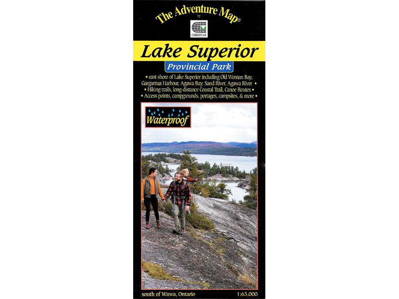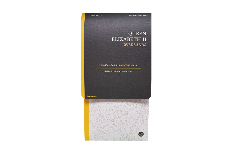
Queen Elizabeth 2 Wildlands Map
$18.00
New map of the QE2 Wildlands!
Out of stock
Description
Dotted with a network of lakes and rivers, Queen Elizabeth II Wildlands is the second-largest wilderness area in South Central Ontario, procuring unmatched opportunities for backcountry adventures. Its low rolling topography of wetlands and bedrock barrens crowned with forested uplands features over 50 landform vegetation patterns forming an excellent wildlife conservation habitat.
About the Map
Map 1: Wildlands East, The Big Loop – Scale 1:36000. Map 2: Wildlands West, Black River – Scale 1:36000. Booklet: Map notes, tidily packaged in a map folder. Features campsites, navigation obstacles, trails and portages, points of interest, contours lines, and more. Printed on very tough water and tear resistant FSC paper in Canada. Printed one side with generous margins. Can be annotated with any pen or pencil, feels like paper.
Included
- Map 1, printed one side, Wildlands East at 1:36,000
- Map 2, printed one side, Wildlands West at 1:36,000
- Map notes booklet
- Ruler at scale/bookmark
- All the above inside a map folder
Additional information
| Weight | .1 kg |
|---|---|
| Dimensions | 23 × 12 × 2 cm |