
Chrismar Maps Algonquin 2
$16.95
The entire Northwest quadrant of Algonquin is covered on this map.
5 in stock
Description
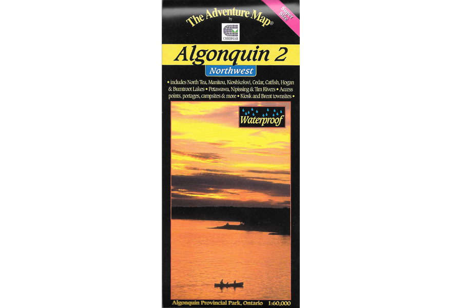
The entire Northwest quadrant of Algonquin is covered on this map. It overlaps the north edge of the Algonquin 1 map and stretches from Kawawaymog Lake outside the west park boundary all the way over to Brent on Cedar Lake. At 1:80,000 scale this map shows more detail than government topos including campsites, portages, historic features and the incredibly detailed land and waterscape you’ve come to expect from The Adventure Map®. The back side is covered with colour photos and text detailing the natural and human history of the area along with suggested routes, safety tips, contact info and much more. As with other Algonquin maps in our series this one has quickly become the standard for on-the-water navigation.
Waterproof.
Additional information
| Weight | 1 kg |
|---|---|
| Dimensions | 23 × 11 × 0.5 cm |