
Chrismar Maps Missinaibi 1
$16.95
This map features the lakes and headwaters that eventually become the Missinaibi river.
1 in stock
Description
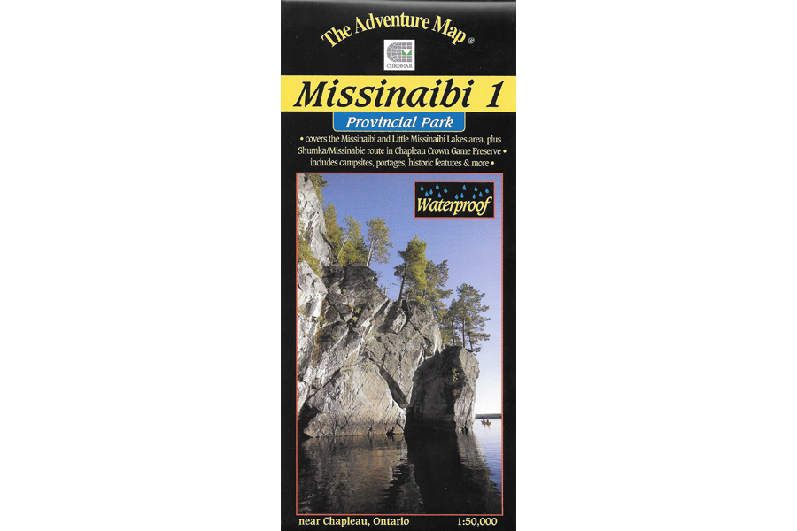
This map features the lakes and headwaters that eventually become the Missinaibi river. There are two major lakes on this map – Missinaibi Lake and Little Missinaibi Lake. The former has main arms over 43 kilometres long with numerous bays and islands, superb fishing, great cliffs and some of the continents finest examples of aboriginal pictographs. There is plenty of lake here for several weeks of superb canoe or even better kayak paddling. Little Missinaibi Lake is quite different than her bigger relative – narrow and convoluted like a pretzel – but with equally fascinating cliffs, old-growth trees and pictograph sites. A very challenging whitewater river joins the two, with an alternative flatwater route with portages preferred by most.
But that’s not all this area has to offer. There is also a small, but nicely situated, campground on Missinaibi Lake, at the end of the access road from Chapleau. We’ve also included a lot of fine paddling area outside the Park, in particular the Shumka area that makes a great wild paddling loop from “big and little Miss” south and west to the railway and back. The railway is key because it means you can access the area from as far away as Sudbury. No need to drive – just throw your canoe and gear on the train and get off and on where you want.
This map has unprecedented detail, and includes backcountry campsites, portages, access points, points of historical interest, plus many other features such as a campground map enlargement and a special section on pictographs.
Waterproof.
Additional information
| Weight | 1 kg |
|---|---|
| Dimensions | 23 × 11 × 0.5 cm |