
Chrismar Maps Algonquin 4
$16.95
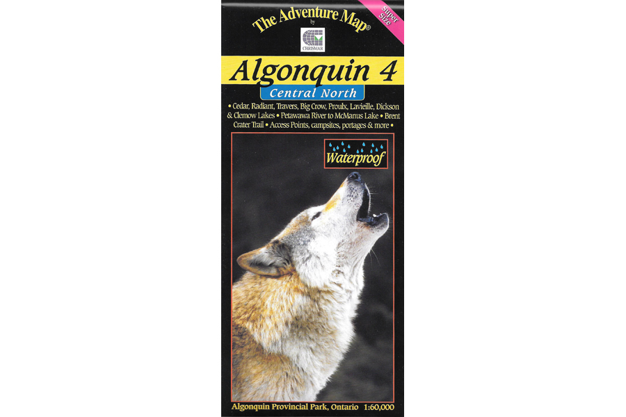
This map covers the area from beyond the park boundary in the north all the way south to Dickson Lake, and from Cedar Lake, where it overlaps the Algonquin 2 map, all the way east to Grand Lake.
4 in stock
Description
This map covers the area from beyond the park boundary in the north all the way south to Dickson Lake, and from Cedar Lake, where it overlaps the Algonquin 2 map, all the way east to Grand Lake. PLUS we’ve added the Petawawa River beyond that all the way to McManus Lake at the east boundary of the Park. Aside from the Petawawa River between Cedar Lake and McManus Lake, there are few major Algonquin routes entirely on this map, however it is essential to some superb longer routes that start and end just beyond its borders on our adjacent Algonquin 1, Algonquin 2 and Barron/Achray maps. Even so there are 6 access points on this map including several of the most remote in the park, which leads to routes where you’re less likely to encounter other paddlers – in the true wilderness parts of Algonquin.
One of many attractions covered in some detail on the reverse side of this map is the Brent Crater – the largest of its kind in the world. Plus we have a special section on Algonquin’s wolves, which are different from the typical wolf in Ontario. As usual, map provides extraordinary terrain and vegetation detail, this map features campsites, portages, access points, hiking trails, facilities like campgrounds, telephones, historic sites, rental ranger cabins and many more attractions.
Waterproof.
Additional information
| Weight | 1 kg |
|---|---|
| Dimensions | 23 × 11 × 0.5 cm |