
Chrismar Maps Algonquin 1
$16.95
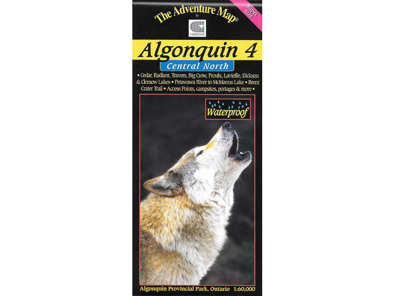
In addition to extra-ordinary terrain and vegetation detail, this map features campsites, portages, access points, hiking trails, facilities like campgrounds, telephones, historic sites and many more attractions.
3 in stock
Description
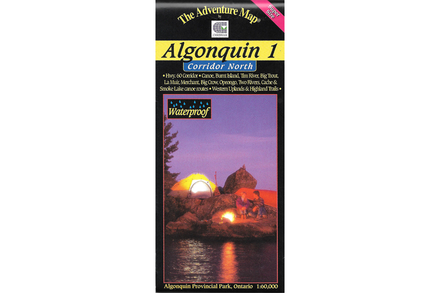
In addition to extra-ordinary terrain and vegetation detail, this map features campsites, portages, access points, hiking trails, facilities like campgrounds, telephones, historic sites and many more attractions. Trails and portages have also been GPS’d over the past few years for greater accuracy than ever before. This map covers the area from Opeongo Lake and the Visitor Centre in the east to the park boundary in the west and from the Tim River and Lake La Muir in the north to Ragged and Whitefish Lakes in the south. It also shows the Highway 60 corridor and all features along the way.
Waterproof.
Additional information
| Weight | 1 kg |
|---|---|
| Dimensions | 23 × 11 × 0.5 cm |