- You cannot add "Unlostify Killarney Map" to the cart because the product is out of stock.
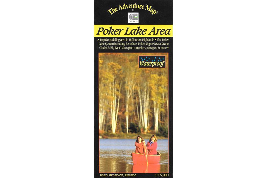
Chrismar Maps Poker Lake Area
$6.95
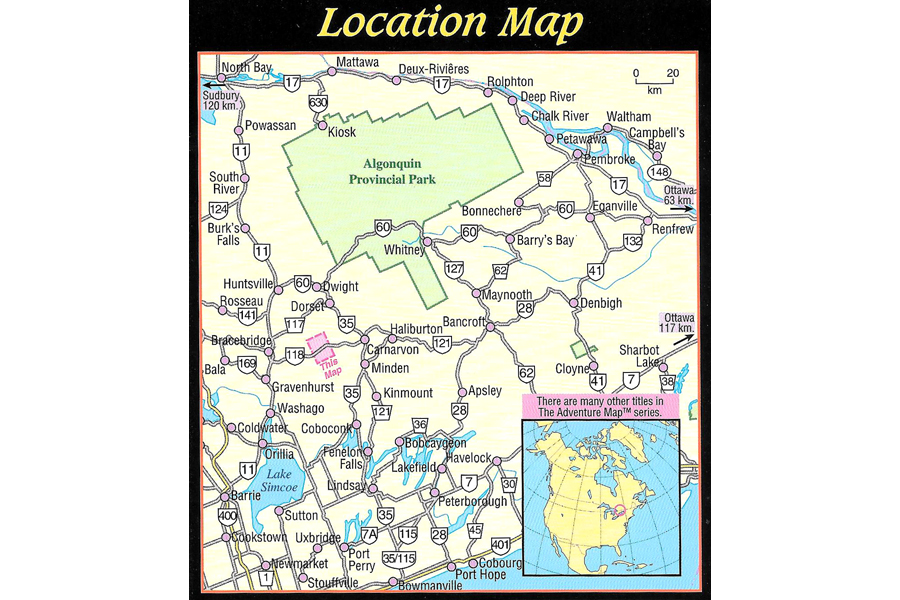
The Poker Lake system is a compact paddling area on crown land just west of Carnarvon in Haliburton County.
3 in stock
Description
The Poker Lake system is a compact paddling area on crown land just west of Carnarvon in Haliburton County. It’s perfect for family canoeing, day paddles and 2-3 night trips. The area straddles Hwy 118 west of Carnarvon, with a short-portage network of smaller lakes on the north side and the large multi-bayed Big East Lake on the south side. This map covers the entire paddling area and a little beyond and highlights portages, campsites, rapids and other important features. Our most recent version includes campsite numbers, day-use and group sites, camper and tent limits by site, and other useful information about recent developments.
Waterproof.
Additional information
| Weight | 0.057 kg |
|---|---|
| Dimensions | 23 × 11 × 0.5 cm |
