
Chrismar Mattawa River Map
$13.95
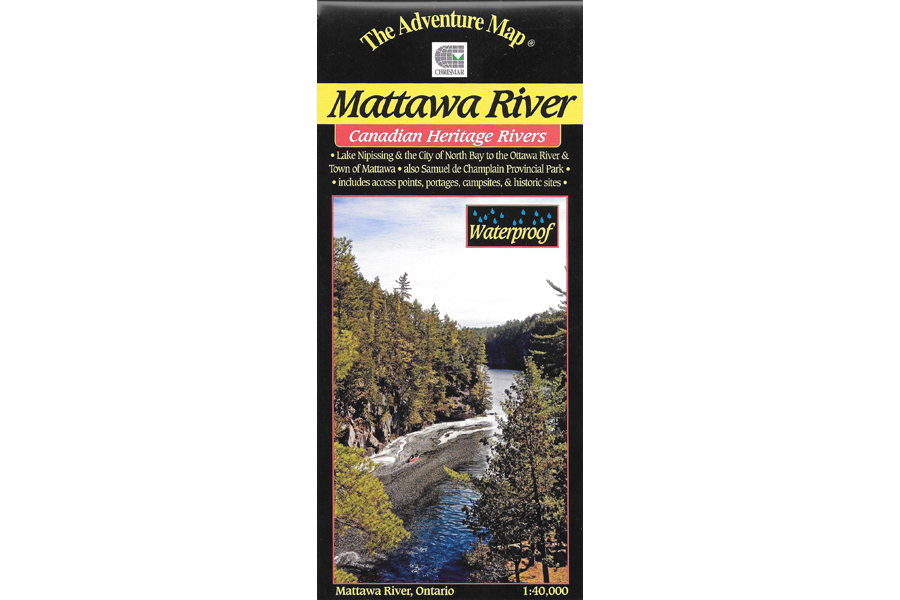
Waterproof map of Mattawa River Provincial Park and area.
3 in stock
Description
The Mattawa River is one of Canada’s most historic rivers. Stretching between the modern city of North Bay on Lake Nipissing and the Town of Mattawa at the Ottawa River, it has seen several centuries of travel by canoe. Indeed, the Mattawa was the main fur trade route to the west, and also the route by which many of Canada’s greatest explorers headed into the interior. It’s no surprise then that the Mattawa has been designated a Canadian Heritage River.
At 1:40,000 scale, this map shows the area in extraordinary detail, and includes our usual features of essential interest to paddlers and tourists alike. You’ll find access points, campsites, portages, points of interest, roads, trails, and lots more, as well as text, inset maps and colour photos (both current and historic) describing the route, human and natural history, local attractions, etc.
The inset maps focus on the fur trade route across eastern Canada, and the details of popular Samuel de Champlain Provincial Park which makes a great base from which to explore the area.
Like all Adventure Maps® this one is completely original, totally waterproof and made specifically for the paddling, hiking and wilderness adventure audience. And, like many of Chrismar’s maps, this one has been adopted by the local Provincial Park as their preferred map of the area.
Additional information
| Weight | 1 kg |
|---|---|
| Dimensions | 23 × 11 × .5 cm |